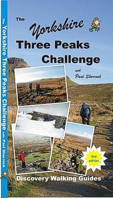
 The Yorkshire Three Peaks Challenge with Paul Shorrock
 National 3 Peaks Challenge walk walking UK hike
hikingthe
yorkshire three peaks challenge
 The Yorkshire Three Peaks Challenge with Paul Shorrock
isbn
9781904946915 new 2nd Edition £8.99 96 pages with full colour photos,
full size OS 25k maps for all walking routes, perfect bound.
![]()
![]()
![]()

![]() Custom Maps
for Garmins
Custom Maps
for Garmins
National 3 Peaks and Yorkshire 3 Peaks Challenge
Maps
If you are new to walking in the Yorkshire Dales, you're in
for a treat, as we trace our way up the Three Peaks.
First though, we'll do them one at a time, giving a chance to savour the
experience, as well as getting to know the area.
Paul Shorrock is the 'local' expert who has brought together the whole
'Yorkshire Three Peaks Challenge' adventure. He starts by exploring each of the
three peaks through six day walks before moving on to tackle the whole
challenge. Everything you need to explore these glorious landscapes and prepare
yourself for the 12 hour Challenge is included in 'The Yorkshire Three Peaks
Challenge':-
- Fully detailed walk descriptions, with frequent timings to aid navigation, for
the six day walks and the complete challenge.
- OS 25k large scale mapping of all the walking routes.
- gps waypoints for the pin-point navigational accuracy that is so valuable for
a successful challenge.
- Full training, accommodation and local information for everything you need to
know before attempting the challenge.
The Three Peaks of the Yorkshire Dales provide some of the finest walking in
Britain. With a combination of high peaks and stunning scenery the area is
rightly popular with outdoor types, from leisure walkers up to super-fit fell
runners. It always seems to follow that when you have a mix of high places and
human beings, sooner or later someone will come up with an idea of a challenge
of some kind. With the Three Peaks of Pen y Ghent, Whernside and Ingleborough
the solution was simple - do them all in one walk! New for the 2nd edition is
the news that Paul's routes are now the 'official' Y3P routes.
 more improvements making the routes easier
or more comfortable
Thanks to Andrew for bring us up to date on the latest improvements on
Y3P routes. Main change is that the 'official' route is now the same as Paul
Shorrock's. Elsewhere stiles are being replaced by gates, wayposts and signs are
being improved, and 'causeway stones' are being laid to reduce erosion; a lot of
these improvements are thanks to the
'Friends of the Yorkshire 3 Peaks' voluntary organisation. These
improvements are ongoing so expect to find new gates, signs, stone laid trails,
on the Y3P.
Overall the effect of these improvements is to reduce holdups and maintanance of
stiles, reduce the chances of taking a wrong turning, and to reduce the erosion.
Everyone who has experienced the Y3P Challenge will recognise that gates are
easier and quicker than stiles, and 'causeway stones' are a vast improvement
over negotiating soggy eroded peat. The overall effect will be to make the Y3P
12hour Challenge more achievable for more hikers. Under refreshments the Burger
Van at Ribblehead car park continues trading, so much so that it can be thought
of as a permanent feature!
Contents
listing for The Yorkshire Three Peaks Challenge
GPS files
available for Yorkshire Three Peaks Challenge.
Custom Maps
for Garmins
The Three Peaks of the Yorkshire Dales provide some of the finest walking in
Britain. With a combination of high peaks and stunning scenery the area is
rightly popular with outdoor types, from leisure walkers up to super-fit fell
runners. It always seems to follow that when you have a mix of high places and
human beings, sooner or later someone will come up with an idea of a challenge
of some kind. With the Three Peaks of Pen y Ghent, Whernside and Ingleborough
the solution was simple - do them all in one walk!
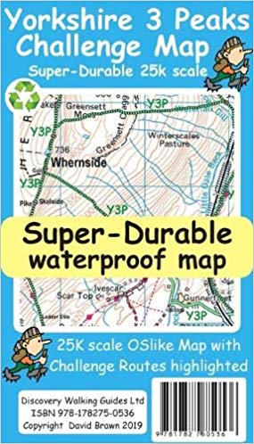
Also see Y3P and N3P Challenge Maps, 'National 3 Peaks - Taking Up The Challenge' and 'Walk! the Yorkshire Dales'
Home Page
Lake District North Lake District South Peak District South Dartmoor
Exmoor South Downs
Yorkshire Dales South Pennines Dorset Isle of Wight
Devon Titles Abroad